File:The map of the NFR.jpg
Jump to navigation
Jump to search

Size of this preview: 800 × 600 pixels. Other resolutions: 2,560 × 1,920 pixels | 4,032 × 3,024 pixels.
Original file (4,032 × 3,024 pixels, file size: 1.01 MB, MIME type: image/jpeg)
Summary
| Description |
English: The map of the NFR |
|---|---|
| Source |
Own work |
| Date |
2021-05-20 23:30:16 |
| Author | |
| Permission (Reusing this file) |
See below.
|
Licensing
I, the copyright holder of this work, hereby publish it under the following license:
|
File history
Click on a date/time to view the file as it appeared at that time.
| Date/Time | Thumbnail | Dimensions | User | Comment | |
|---|---|---|---|---|---|
| current | 10:13, 12 February 2023 | | 4,032 × 3,024 (1.01 MB) | Mr. Dread (talk | contribs) | |
| 15:31, 9 February 2022 | 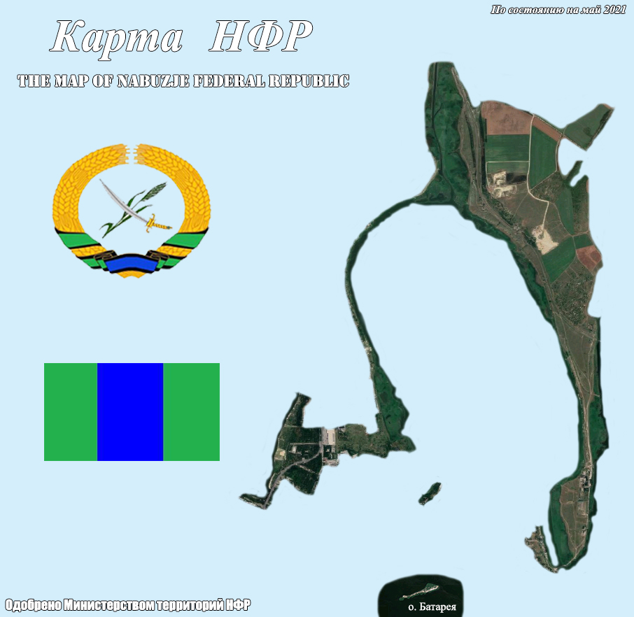 | 906 × 882 (245 KB) | Mr. Dread (talk | contribs) | Uploaded own work with UploadWizard |
You cannot overwrite this file.
File usage
The following page uses this file: