File:Map of the Kasari Islands.svg
Jump to navigation
Jump to search

Size of this PNG preview of this SVG file: 598 × 600 pixels. Other resolution: 2,042 × 2,048 pixels.
Original file (SVG file, nominally 713 × 715 pixels, file size: 69 KB)
Summary
| Description |
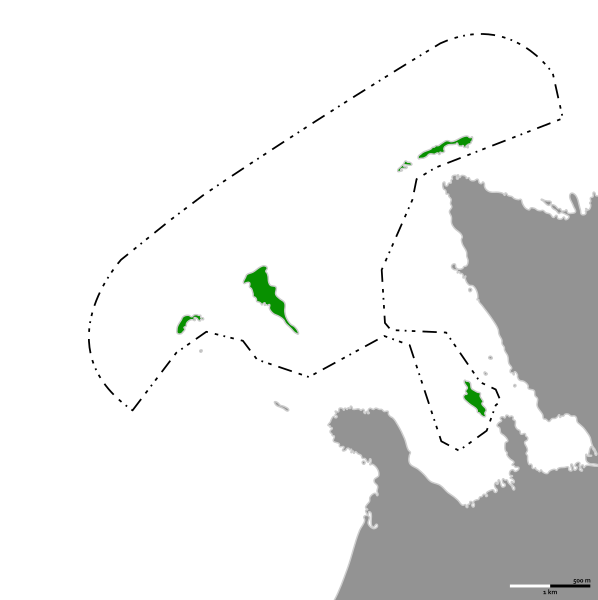
English: Map of the Territory of Kasari Islands |
|---|---|
| Source |
Own work |
| Date |
2024-01-30 |
| Author | |
| Permission (Reusing this file) |
See below.
|
Licensing
I, the copyright holder of this work, hereby publish it under the following license:
|
File history
Click on a date/time to view the file as it appeared at that time.
| Date/Time | Thumbnail | Dimensions | User | Comment | |
|---|---|---|---|---|---|
| current | 16:47, 31 January 2024 | | 713 × 715 (69 KB) | JDFRG (talk | contribs) | Forgot to convert text to path |
| 16:45, 31 January 2024 |  | 713 × 715 (64 KB) | JDFRG (talk | contribs) | Added scale bar, changed outline sizes | |
| 12:35, 30 January 2024 |  | 713 × 715 (62 KB) | JDFRG (talk | contribs) | Uploaded own work with UploadWizard |
You cannot overwrite this file.
File usage
The following 2 pages use this file: