File:Drietsland Map 7th March 2021.png
Jump to navigation
Jump to search

Size of this preview: 800 × 520 pixels. Other resolution: 1,234 × 802 pixels.
Original file (1,234 × 802 pixels, file size: 5 KB, MIME type: image/png)
Summary
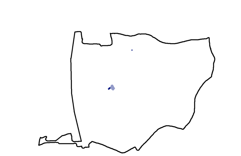
Map of Drietsland in 7/3-2021. The Black Line shows the boundaries of Volldrietsland (Driets: Full Drietsland). The Blue shows the areas of control with differing shades of blue; the darker the shade, the more is it de facto controlled by Drietsland /Driets Crown.
Licensing
I, the copyright holder of this work, hereby publish it under the following license:
{{{{{1}}}|dw=no|date=|migration= }}
|
File history
Click on a date/time to view the file as it appeared at that time.
| Date/Time | Thumbnail | Dimensions | User | Comment | |
|---|---|---|---|---|---|
| current | 06:18, 7 March 2021 | | 1,234 × 802 (5 KB) | Seved (talk | contribs) | Map of Drietsland in 7/3-2021. The Black Line shows the boundaries of Volldrietsland (Driets: Full Drietsland). The Blue shows the areas of control with differing shades of blue; the darker the shade, the more is it de facto controlled by Drietsland /D... |
You cannot overwrite this file.
File usage
The following page uses this file: