Category:Road signs of Atovia
Jump to navigation
Jump to search
Road signs of Atovia.
Media in category "Road signs of Atovia"
The following 121 files are in this category, out of 121 total.
-
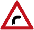
101.1-Curve to the right.png 1,025 × 900; 67 KB
-
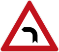
101.2-Curve to the left.png 1,025 × 900; 51 KB
-
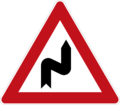
101.3-Double curve, first to right.png 1,025 × 900; 52 KB
-
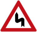
101.4-Double curve, first to left.png 1,025 × 900; 63 KB
-
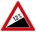
102.9-Steep ascent (12%).png 1,008 × 900; 82 KB
-
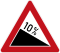
103.7-Steep descent (10%).png 1,025 × 900; 80 KB
-
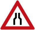
104.1-Road Narrows on both sides.png 1,025 × 900; 65 KB
-
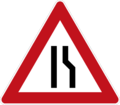
104.2-Road Narrows on right.png 1,025 × 900; 59 KB
-
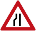
104.3-Road Narrows on left.png 1,025 × 900; 49 KB
-
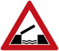
105-Opening or swing bridge.png 1,025 × 900; 74 KB
-
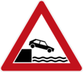
106-Unprotected quayside or riverbank.png 1,025 × 900; 82 KB
-
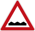
107.1-Uneven road ahead.png 780 × 685; 45 KB
-
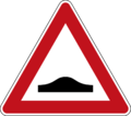
107.2-Road bump ahead.png 1,020 × 899; 49 KB
-
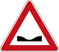
107.3-Road dip ahead.png 1,020 × 899; 47 KB
-
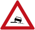
108-Soft verge or dangerous shoulder.png 1,025 × 900; 59 KB
-
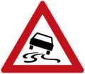
109-Slippery road surface.png 1,025 × 900; 82 KB
-
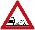
110-Loose road surface.png 1,025 × 900; 75 KB
-
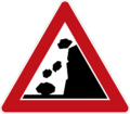
111-Falling rocks or debris.png 1,025 × 900; 73 KB
-
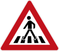
112-Pedestrian crossing ahead.png 1,025 × 900; 81 KB
-
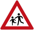
113-Children.png 1,025 × 900; 75 KB
-
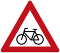
114-Cyclists.png 1,025 × 900; 82 KB
-
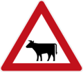
115.1-Domesticated animals.png 1,025 × 900; 68 KB
-
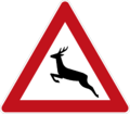
115.2-Wild animals.png 1,025 × 900; 73 KB
-
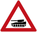
116-Panzers.png 1,025 × 900; 59 KB
-
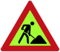
117-Roadworks ahead.png 1,025 × 900; 55 KB
-
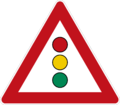
118-Traffic signals ahead.png 1,025 × 900; 79 KB
-
119-Crossroads with priority to the right.png 1,025 × 900; 68 KB
-
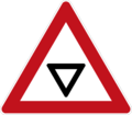
121.1-Give Way ahead.png 1,025 × 900; 51 KB
-
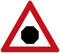
121.2-Stop ahead.png 1,025 × 900; 49 KB
-
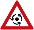
122-Roundabout ahead.png 847 × 744; 51 KB
-
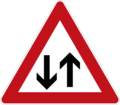
123-Two-way traffic ahead.png 1,025 × 900; 61 KB
-
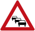
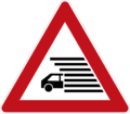
124-Traffic queues likely ahead.png 1,025 × 900; 68 KB
-
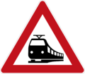
125-Level crossing ahead.png 1,025 × 900; 72 KB
-
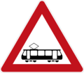
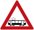
126-Tram crossing.png 1,025 × 900; 59 KB
-
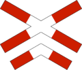
127.1-Level crossing.png 695 × 450; 37 KB
-
127.2-Level crossing (multiple tracks).png 695 × 596; 52 KB
-
128.2-Distance to level crossing (100m).png 308 × 1,024; 20 KB
-
128.3-Distance to level crossing (50m).png 308 × 1,024; 14 KB
-
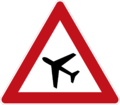
129-Low-flying aircraft.png 1,025 × 900; 70 KB
-
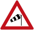
130-Dangerous crosswinds.png 1,025 × 900; 73 KB
-
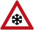
131-Snow or ice.png 1,025 × 900; 72 KB
-
132-Fog likely.png 1,025 × 900; 60 KB
-
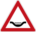
133-River crossing or ford.png 780 × 685; 45 KB
-
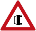
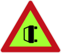
134.1-Accident area.png 1,025 × 900; 52 KB
-
134.2-Accident ahead.png 1,025 × 900; 48 KB
-
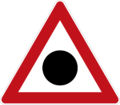
135.1-Other danger.png 1,025 × 900; 64 KB
-
135.2-Other danger (temporary).png 1,025 × 900; 48 KB
-
301-No entry for vehicular traffic.png 900 × 900; 53 KB
-
302-Road closed to all vehicles in both directions.png 900 × 900; 64 KB
-
304-No motor vehicles except motorcycles.png 900 × 900; 72 KB
-
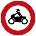
305-No motorcycles.png 900 × 900; 86 KB
-
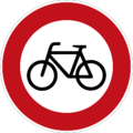
306-No bicycles.png 900 × 900; 89 KB
-
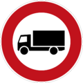
308-No heavy goods vehicles.png 900 × 900; 71 KB
-
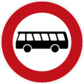
310-No buses.png 900 × 900; 76 KB
-
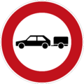
312-No automobiles with trailers.png 900 × 900; 73 KB
-
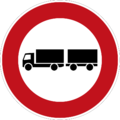
313-No heavy goods vehicles with trailers.png 900 × 900; 71 KB
-
314-No vehicles carrying dangerous goods.png 900 × 900; 68 KB
-
315-No vehicles carrying dangerous water pollutants.png 900 × 900; 86 KB
-
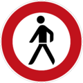
317-No pedestrians.png 900 × 900; 79 KB
-
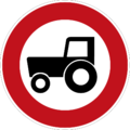
318-No tractors.png 900 × 900; 81 KB
-
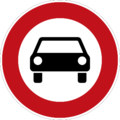
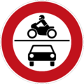
319-No motor vehicles.png 900 × 900; 84 KB
-
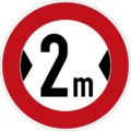
320-Maximum width.png 900 × 900; 78 KB
-
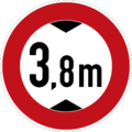
321-Maximum height.png 900 × 900; 82 KB
-
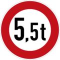
322-Maximum weight.png 900 × 900; 72 KB
-
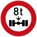
323-Maximum weight per axle.png 900 × 900; 76 KB
-
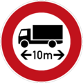
324-Maximum vehicle length.png 900 × 900; 75 KB
-
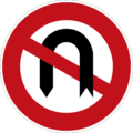
326-No U-turns.png 900 × 900; 78 KB
-
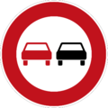
327-No overtaking.png 900 × 900; 70 KB
-
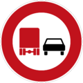
328-No overtaking by heavy goods vehicles.png 900 × 900; 69 KB
-
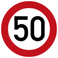
329-Maximum speed limit.png 876 × 876; 46 KB
-
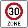
330-Speed limit zone.png 900 × 900; 53 KB
-
331-End of all restrictions.png 900 × 900; 72 KB
-
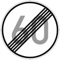
332-End of maximum speed limit.png 900 × 900; 97 KB
-
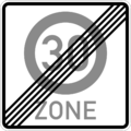
333-End of speed limit zone.png 900 × 900; 31 KB
-
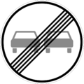
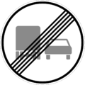
334-End of overtaking prohibition.png 900 × 900; 47 KB
-
335-End of heavy goods vehicle overtaking prohibition.png 1,024 × 1,024; 54 KB
-
337-No stopping.png 900 × 900; 67 KB
-
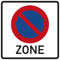
338-No parking zone.png 900 × 900; 42 KB
-
401-Proceed straight.png 900 × 900; 53 KB
-
402.1-Turn right.png 900 × 900; 53 KB
-
402.2-Turn left.png 1,024 × 1,024; 62 KB
-
403.1-Turn right ahead.png 900 × 900; 55 KB
-
403.2-Turn left ahead.png 1,024 × 1,024; 63 KB
-
404.1-Proceed straight or turn right.png 900 × 900; 60 KB
-
404.2-Proceed straight or turn left.png 1,024 × 1,024; 70 KB
-
405-Turn right or left.png 1,024 × 1,024; 66 KB
-
406.1-Pass obstacle on right.png 900 × 900; 52 KB
-
406.2-Pass obstacle on left.png 1,024 × 1,024; 60 KB
-
407-Roundabout.png 900 × 900; 64 KB
-
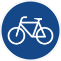
408-Bicycles only.png 900 × 900; 81 KB
-
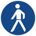
409-Pedestrians only.png 900 × 900; 63 KB
-
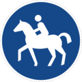
410-Equestrian path.png 900 × 900; 74 KB
-
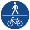
412-Shared use path.png 900 × 900; 64 KB
-
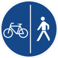
413-Separated use path.png 900 × 900; 64 KB
-
414-Minimum speed limit.png 900 × 900; 68 KB
-
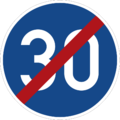
415-End of minimum speed limit.png 900 × 900; 67 KB
-
B1-Give Way ahead.png 1,025 × 1,262; 63 KB
-
B2-Stop ahead.png 1,025 × 1,390; 73 KB
-
B9-Tram crossing.png 1,025 × 900; 59 KB
-
B34.1-Accident area.png 1,025 × 900; 49 KB
-
B34.2-Accident ahead.png 1,025 × 900; 45 KB
-
B36.2-Other danger (temporary).png 1,025 × 900; 49 KB
-
D13-One-way street.png 1,200 × 444; 13 KB
-
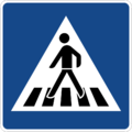
D14-Pedestrian crossing.png 900 × 900; 45 KB
-
D15-Advisory speed limit.png 900 × 900; 26 KB
-
D16-Lane ends.png 702 × 899; 8 KB
-
D17-Living street.png 601 × 601; 11 KB
-
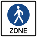
D18-Pedestrian zone.png 900 × 900; 39 KB
-
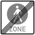
D18E-End of pedestrian zone.png 900 × 900; 36 KB
-
D19-Bus lane.png 900 × 900; 63 KB
-
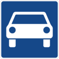
D20-Limited-access road.png 900 × 900; 24 KB
-
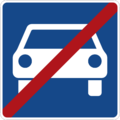
D20E-End of limited-access road.png 900 × 900; 25 KB
-
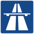
D21-Motorway.png 900 × 900; 23 KB
-
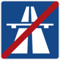
D21E-End of motorway.png 900 × 900; 24 KB
-
E1-No through road.png 900 × 900; 10 KB
-
E2-Hospital.png 835 × 899; 15 KB
-
E3-First aid.png 900 × 900; 11 KB
-
E4.1-Bus stop (front).png 375 × 450; 20 KB
-
E4.2-Bus stop (back).png 397 × 400; 9 KB
-
E5-Escape lane.png 286 × 400; 17 KB
-
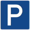
E6-Parking place.png 900 × 900; 19 KB
