File:Official Agatonian map.png
Jump to navigation
Jump to search

Size of this preview: 600 × 600 pixels. Other resolution: 1,280 × 1,280 pixels.
Original file (1,280 × 1,280 pixels, file size: 72 KB, MIME type: image/png)
Summary
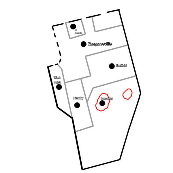
| Description |
English: Black lines = country border; small black lines = disputed border; gray = state border; red = language border |
|---|---|
| Source |
Own work |
| Date |
2024-06-25 |
| Author | |
| Permission (Reusing this file) |
See below.
|
Licensing
I, the copyright holder of this work, hereby publish it under the following license:
|
File history
Click on a date/time to view the file as it appeared at that time.
| Date/Time | Thumbnail | Dimensions | User | Comment | |
|---|---|---|---|---|---|
| current | 06:55, 25 June 2024 | | 1,280 × 1,280 (72 KB) | AgatonianGovernment (talk | contribs) | Uploaded own work with UploadWizard |
You cannot overwrite this file.
File usage
The following 2 pages use this file: