File:Map of the HBE.png
Jump to navigation
Jump to search

Size of this preview: 800 × 382 pixels. Other resolution: 1,625 × 775 pixels.
Original file (1,625 × 775 pixels, file size: 3.04 MB, MIME type: image/png)
Summary
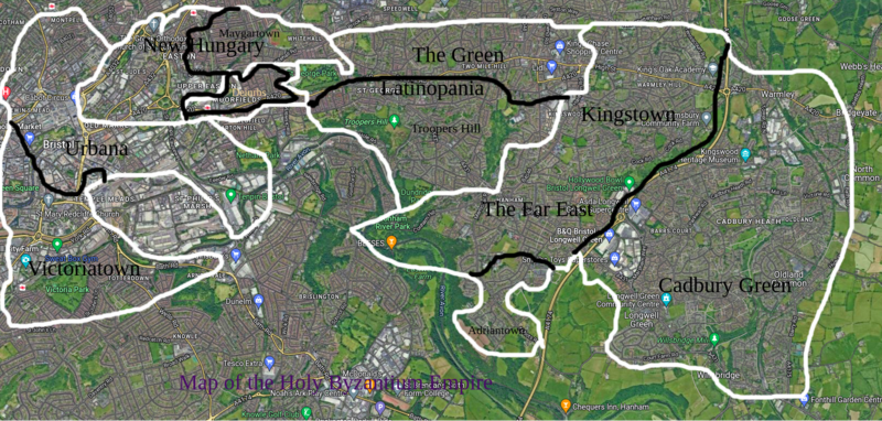
Black lines = Cities Black words = Names White lines = Provinces Yellow words = Capital
Licensing
| This work is used in accordance with the following copyright license: Proprietary, with usage permitted on MicroWiki. Author: Unknown. Origin: Unknown. |
File history
Click on a date/time to view the file as it appeared at that time.
| Date/Time | Thumbnail | Dimensions | User | Comment | |
|---|---|---|---|---|---|
| current | 07:59, 6 August 2022 | | 1,625 × 775 (3.04 MB) | ByzantiumEmpire (talk | contribs) | Black lines = Cities Black words = Names White lines = Provinces Yellow words = Capital |
You cannot overwrite this file.
File usage
The following 4 pages use this file: