File:Map of Kanazia (Regions).png
Jump to navigation
Jump to search
Size of this preview: 800 × 533 pixels.
Original file (900 × 600 pixels, file size: 105 KB, MIME type: image/png)
Summary
| Description |
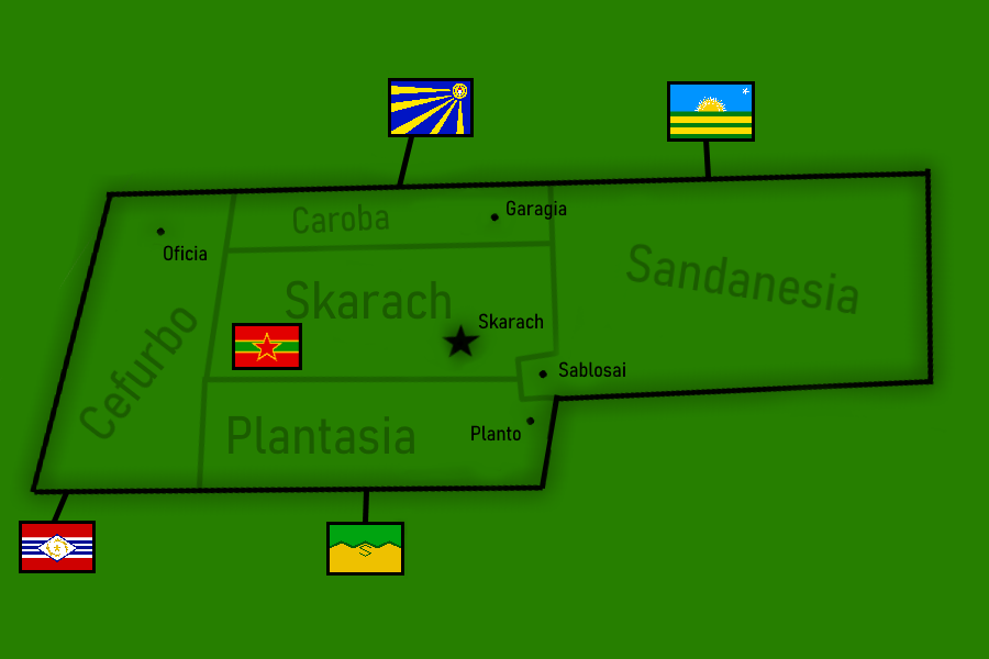
English: Map of Kanazia |
|---|---|
| Source |
Own work |
| Date |
2021-06-07 |
| Author | |
| Permission (Reusing this file) |
See below.
|
Licensing
I, the copyright holder of this work, hereby publish it under the following license:
|
File history
Click on a date/time to view the file as it appeared at that time.
| Date/Time | Thumbnail | Dimensions | User | Comment | |
|---|---|---|---|---|---|
| current | 13:59, 22 December 2022 | | 900 × 600 (105 KB) | SouthLanNa (talk | contribs) | More infomation and accurate rotation |
| 07:36, 27 August 2022 |  | 600 × 900 (69 KB) | SouthLanNa (talk | contribs) | New Flags | |
| 11:06, 3 March 2022 |  | 600 × 900 (66 KB) | SouthLanNa (talk | contribs) | ||
| 04:15, 19 June 2021 |  | 600 × 900 (90 KB) | SouthLanNa (talk | contribs) | ||
| 06:54, 7 June 2021 |  | 600 × 900 (91 KB) | SouthLanNa (talk | contribs) | Uploaded own work with UploadWizard |
You cannot overwrite this file.
File usage
There are no pages that use this file.
.png&oldid=1376116)