File:MapAustralis.png
Jump to navigation
Jump to search
Size of this preview: 800 × 494 pixels. Other resolution: 998 × 616 pixels.
Original file (998 × 616 pixels, file size: 1.32 MB, MIME type: image/png)
Summary
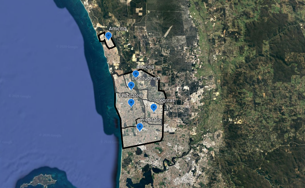
| Description |
English: Map of Australis |
|---|---|
| Source |
Own work |
| Date |
2020-05-08 |
| Author | |
| Permission (Reusing this file) |
See below.
|
Licensing
I, the copyright holder of this work, hereby publish it under the following license:
|
File history
Click on a date/time to view the file as it appeared at that time.
| Date/Time | Thumbnail | Dimensions | User | Comment | |
|---|---|---|---|---|---|
| current | 11:49, 8 May 2020 | | 998 × 616 (1.32 MB) | Australis (talk | contribs) | User created page with UploadWizard |
You cannot overwrite this file.
File usage
There are no pages that use this file.