File:Emplacement de la Principauté de Romarin.png
Jump to navigation
Jump to search

Size of this preview: 600 × 600 pixels. Other resolutions: 2,048 × 2,048 pixels | 5,000 × 5,000 pixels.
Original file (5,000 × 5,000 pixels, file size: 1.41 MB, MIME type: image/png)
Summary
| Description |
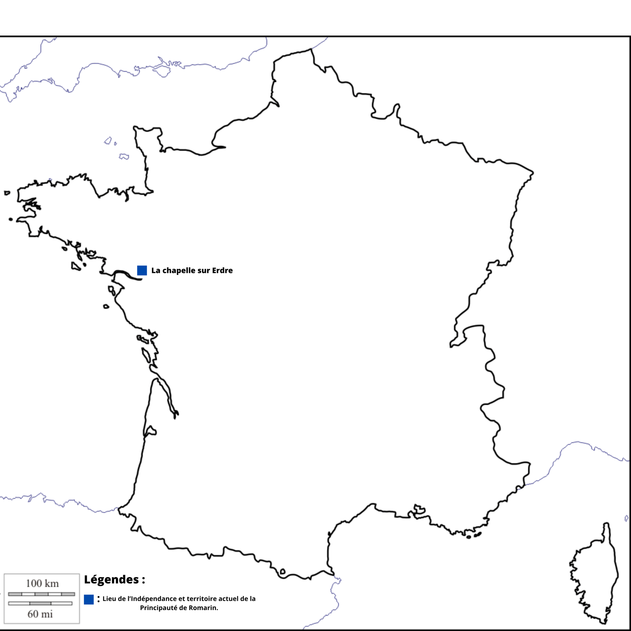
English: Map of Romarin. |
|---|---|
| Source |
Own work |
| Date |
2023-09-09 |
| Author | |
| Permission (Reusing this file) |
See below.
|
47°19′22″N 1°32′57″E / 47.322822°N 1.549133°E
Licensing
I, the copyright holder of this work, hereby publish it under the following license:
|
File history
Click on a date/time to view the file as it appeared at that time.
| Date/Time | Thumbnail | Dimensions | User | Comment | |
|---|---|---|---|---|---|
| current | 14:49, 9 September 2023 | | 5,000 × 5,000 (1.41 MB) | Prince44fr (talk | contribs) | Uploaded own work with UploadWizard |
You cannot overwrite this file.
File usage
There are no pages that use this file.