File:Duchy of Kraiburg Map (Bavaria).png
Jump to navigation
Jump to search
Size of this preview: 609 × 600 pixels. Other resolution: 724 × 713 pixels.
Original file (724 × 713 pixels, file size: 99 KB, MIME type: image/png)
Summary
| Description |
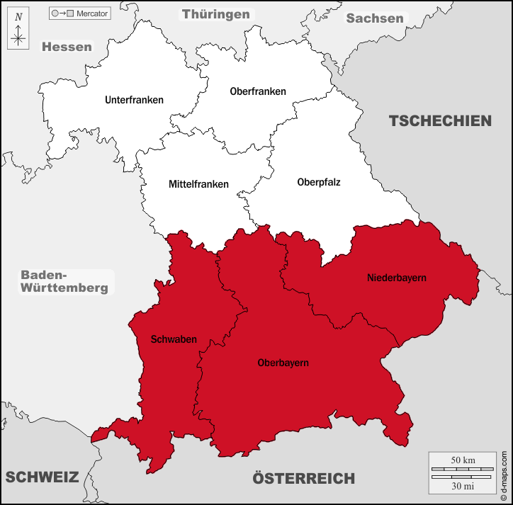
English: The map of the Duchy of Kraiburg |
|---|---|
| Source |
Own work |
| Date |
2022 |
| Author | |
| Permission (Reusing this file) |
See below.
|
Licensing
I, the copyright holder of this work, hereby publish it under the following license:
|
File history
Click on a date/time to view the file as it appeared at that time.
| Date/Time | Thumbnail | Dimensions | User | Comment | |
|---|---|---|---|---|---|
| current | 19:58, 25 October 2022 | | 724 × 713 (99 KB) | Grant (talk | contribs) | |
| 01:10, 25 October 2022 |  | 724 × 713 (101 KB) | Grant (talk | contribs) | Uploaded own work with UploadWizard |
You cannot overwrite this file.
File usage
The following 2 pages use this file:
- Kingdom of Bavaria
- File:Duchy of Kraiburg Map.png (file redirect)
.png&oldid=1319834)