File:Current Map of Qinnowah.png
Jump to navigation
Jump to search
Size of this preview: 401 × 599 pixels. Other resolution: 526 × 786 pixels.
Original file (526 × 786 pixels, file size: 13 KB, MIME type: image/png)
Summary
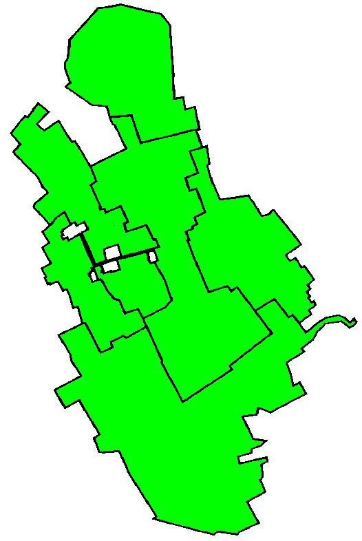
| Description |
English: This is what the Map looks like after Eastern Provinces left Qinnowah for Independence |
|---|---|
| Source |
Own work |
| Date |
2021-10-22 |
| Author | |
| Permission (Reusing this file) |
See below.
|
Licensing
I, the copyright holder of this work, hereby publish it under the following license:
|
File history
Click on a date/time to view the file as it appeared at that time.
| Date/Time | Thumbnail | Dimensions | User | Comment | |
|---|---|---|---|---|---|
| current | 12:48, 2 December 2021 | | 526 × 786 (13 KB) | Haltony711 (talk | contribs) | Larger Regions (States) |
| 15:37, 14 November 2021 |  | 723 × 777 (14 KB) | Haltony711 (talk | contribs) | Re-upload because of Failure | |
| 15:34, 14 November 2021 |  | 723 × 777 (12 KB) | Haltony711 (talk | contribs) | Until December 12, 2021 | |
| 12:26, 9 November 2021 |  | 815 × 891 (19 KB) | Haltony711 (talk | contribs) | This is the real 9th Official Map Update of the United Republic of Qinnowah! | |
| 14:57, 8 November 2021 |  | 815 × 864 (17 KB) | Haltony711 (talk | contribs) | Qinnowah Map Update 9th Update since Its first update in August 2021 | |
| 13:39, 22 October 2021 |  | 477 × 631 (10 KB) | Haltony711 (talk | contribs) | Uploaded own work with UploadWizard |
You cannot overwrite this file.
File usage
There are no pages that use this file.