File:Åland State election map.png
Jump to navigation
Jump to search
Size of this preview: 800 × 539 pixels. Other resolution: 1,646 × 1,110 pixels.
Original file (1,646 × 1,110 pixels, file size: 40 KB, MIME type: image/png)
Summary
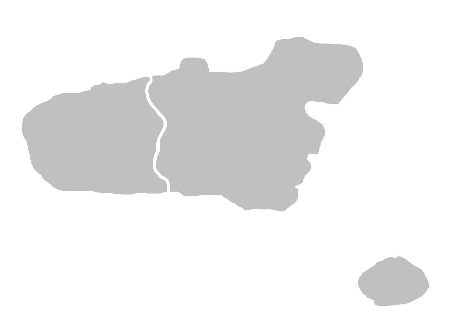
| Description |
English: Åland State election map not including the Forest area as no elections take place there as it has zero population |
|---|---|
| Source |
Own work |
| Date |
2024-02-15 |
| Author | |
| Permission (Reusing this file) |
See below.
|
Licensing
I, the copyright holder of this work, hereby publish it under the following license:
|
File history
Click on a date/time to view the file as it appeared at that time.
| Date/Time | Thumbnail | Dimensions | User | Comment | |
|---|---|---|---|---|---|
| current | 08:52, 15 February 2024 | | 1,646 × 1,110 (40 KB) | Ålanstate2 (talk | contribs) | Uploaded own work with UploadWizard |
You cannot overwrite this file.
File usage
There are no pages that use this file.