Category:Maps of Antarctica
Jump to navigation
Jump to search
Maps of Antarctica.
Media in category "Maps of Antarctica"
The following 22 files are in this category, out of 22 total.
-
6CDA2B49-2C4E-41B3-9743-F18C6F64C001.jpg 1,200 × 1,198; 219 KB
-
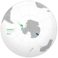
Aksana recognition of Antarctic micronations map.png 640 × 640; 151 KB
-
Aksanin Map (orthographic projection).png 1,280 × 1,280; 517 KB
-
AntarcticmapofGoatstan.png 804 × 583; 520 KB
-
Empire of Marie Byrd Land Map.png 1,200 × 1,200; 207 KB
-
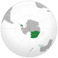
Flandrensis Antarctica territory.svg 755 × 755; 52 KB
-
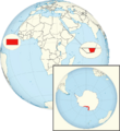
Global Map (2023).png 657 × 912; 377 KB
-
Historical map of Ballistelliburg and Gentoo.png 850 × 850; 168 KB
-
Improved global map.png 657 × 714; 368 KB
-
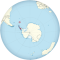
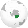
Location map of Aksana in the southern hemisphere.png 850 × 850; 158 KB
-
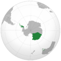
Location map of Eintrachtia-Cyrance in the southern hemisphere.png 850 × 850; 158 KB
-
Malgrandprincipalities of Belakray.png 2,899 × 1,281; 572 KB
-
Map of Thurston.png 850 × 760; 871 KB
-
Map of Union of Antarctic Micronations.png 850 × 850; 209 KB
-
Maptodiantat.png 938 × 938; 193 KB
-
NewSwabia Map.png 850 × 850; 207 KB
-
Old map of recognition of Antarctic micronations by CRE.png 640 × 640; 116 KB
-
Outline of the territories of Valetira.png 3,354 × 3,355; 1.19 MB
-
Region map of Aksana.png 788 × 1,220; 192 KB
-
Weddell-Sea-March-202.png 3,240 × 2,160; 5.27 MB
-
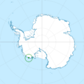
Westarctica Antarctica territory.svg 213 × 213; 52 KB


