File:TSLSatelliteMap.png
Jump to navigation
Jump to search
Size of this preview: 800 × 565 pixels. Other resolution: 1,529 × 1,080 pixels.
Original file (1,529 × 1,080 pixels, file size: 1.73 MB, MIME type: image/png)
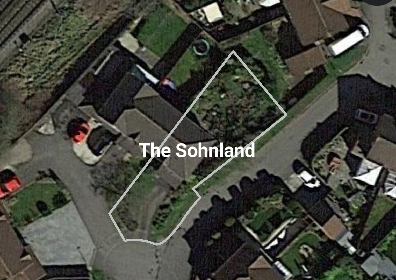
A sattelite map of The Sohnland.
File history
Click on a date/time to view the file as it appeared at that time.
| Date/Time | Thumbnail | Dimensions | User | Comment | |
|---|---|---|---|---|---|
| current | 02:03, 2 March 2021 | | 1,529 × 1,080 (1.73 MB) | Ethanol (talk | contribs) |
You cannot overwrite this file.
File usage
There are no pages that use this file.