File:SOContheglobe.png
Jump to navigation
Jump to search

Size of this preview: 600 × 600 pixels. Other resolution: 1,024 × 1,024 pixels.
Original file (1,024 × 1,024 pixels, file size: 444 KB, MIME type: image/png)
Summary
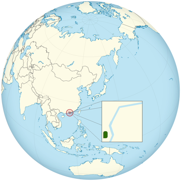
Locator map of State of Canal on the globe, with Japan centred.
Licensing
This file is licensed under a free license.
File history
Click on a date/time to view the file as it appeared at that time.
| Date/Time | Thumbnail | Dimensions | User | Comment | |
|---|---|---|---|---|---|
| current | 07:26, 23 November 2021 | | 1,024 × 1,024 (444 KB) | HKBTV-OMGdyk (talk | contribs) | Correction of the nullah and drain. Removed Tai Po River as it is too far away from the country. |
| 13:05, 15 November 2021 |  | 1,024 × 1,024 (443 KB) | HKBTV-OMGdyk (talk | contribs) | Locator map of State of Canal on the globe, with Japan centred. |
You cannot overwrite this file.
File usage
The following page uses this file: