File:Map of TSA members.jpg
Jump to navigation
Jump to search

Size of this preview: 600 × 600 pixels. Other resolution: 740 × 740 pixels.
Original file (740 × 740 pixels, file size: 331 KB, MIME type: image/jpeg)
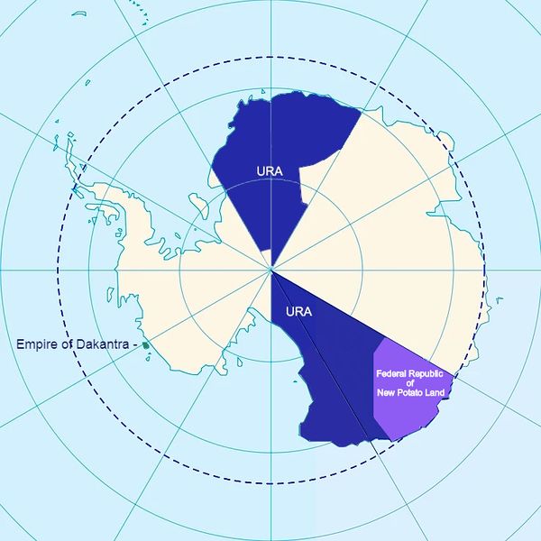
Members of the Transantarctic Supramicronational Alliance mapped on the Antarctic continent (2020) Blue - United Republics of Antarctica Purple - Federal Republic of New Potato Land Green - Empire of Dakantra
File history
Click on a date/time to view the file as it appeared at that time.
| Date/Time | Thumbnail | Dimensions | User | Comment | |
|---|---|---|---|---|---|
| current | 14:14, 23 April 2020 | | 740 × 740 (331 KB) | Polarfever1986 (talk | contribs) |
You cannot overwrite this file.
File usage
There are no pages that use this file.