File:Hakhannajurisdiction.png
Jump to navigation
Jump to search
Size of this preview: 597 × 600 pixels. Other resolution: 1,000 × 1,005 pixels.
Original file (1,000 × 1,005 pixels, file size: 330 KB, MIME type: image/png)
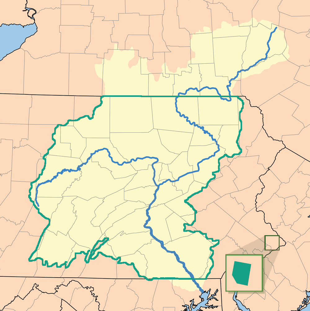
Map of conservatory jurisdiction boundaries of the Bailiwick of Hak'hanna (outlined in green) superimposed on a map of the Susquehanna River watershed (highlighted in pale yellow). The Hannock Embassy to the United States is shown to the right (colored green).
File history
Click on a date/time to view the file as it appeared at that time.
| Date/Time | Thumbnail | Dimensions | User | Comment | |
|---|---|---|---|---|---|
| current | 13:01, 14 March 2020 | | 1,000 × 1,005 (330 KB) | Rooztr (talk | contribs) |
You cannot overwrite this file.
File usage
The following file is a duplicate of this file (more details):
There are no pages that use this file.