File:Gapla Location Map Zoomed.svg
Jump to navigation
Jump to search

Size of this PNG preview of this SVG file: 680 × 520 pixels. Other resolution: 2,560 × 1,958 pixels.
Original file (SVG file, nominally 680 × 520 pixels, file size: 504 KB)
Summary
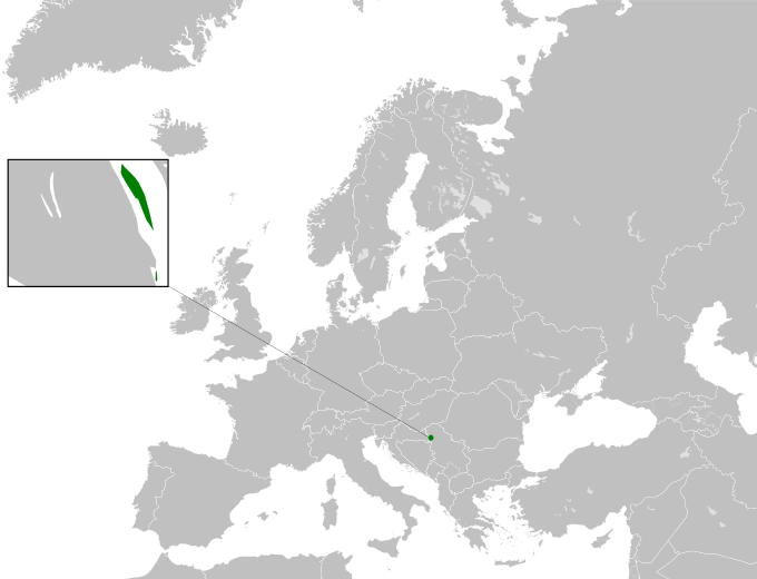
Zoomed location map of the Federated States of Gapla's European territory.
File history
Click on a date/time to view the file as it appeared at that time.
| Date/Time | Thumbnail | Dimensions | User | Comment | |
|---|---|---|---|---|---|
| current | 02:02, 18 June 2023 | | 680 × 520 (504 KB) | Wyatt400 (talk | contribs) | fixes |
| 01:55, 18 June 2023 |  | 680 × 520 (511 KB) | Wyatt400 (talk | contribs) | Zoomed location map of the Federated States of Gapla's European territory. |
You cannot overwrite this file.
File usage
The following page uses this file: