File:ArlandMap.png
Jump to navigation
Jump to search
Size of this preview: 535 × 599 pixels. Other resolution: 643 × 720 pixels.
Original file (643 × 720 pixels, file size: 52 KB, MIME type: image/png)
Summary
| Description |
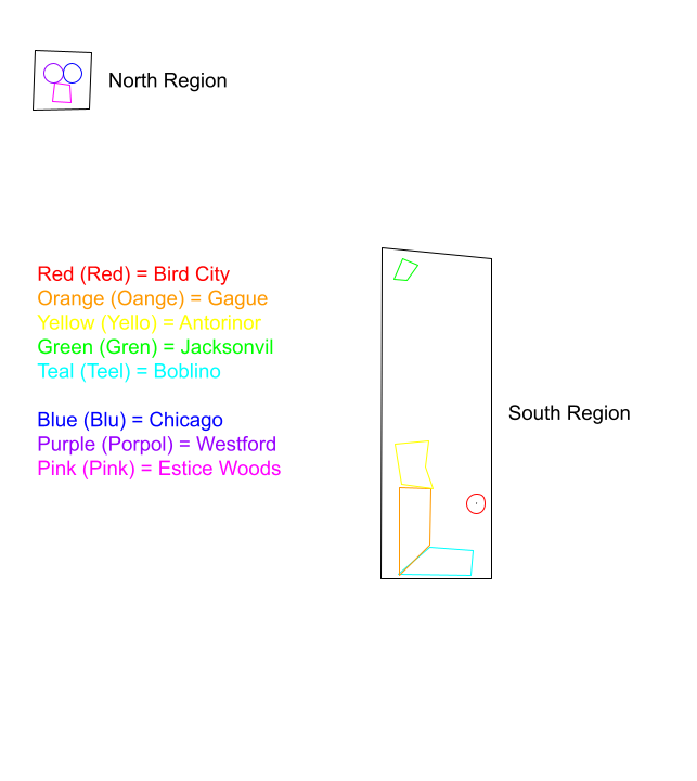
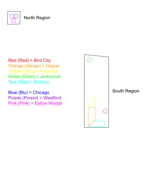
English: A map of the Arlish Republic, showing it's current territories |
|---|---|
| Source |
Own work |
| Date |
2023-10-06 |
| Author | |
| Permission (Reusing this file) |
See below.
|
Licensing
I, the copyright holder of this work, hereby publish it under the following license:
|
File history
Click on a date/time to view the file as it appeared at that time.
| Date/Time | Thumbnail | Dimensions | User | Comment | |
|---|---|---|---|---|---|
| current | 17:26, 9 October 2023 | | 643 × 720 (52 KB) | Liahonia.gov (talk | contribs) | Fixed image. |
| 11:52, 9 October 2023 | 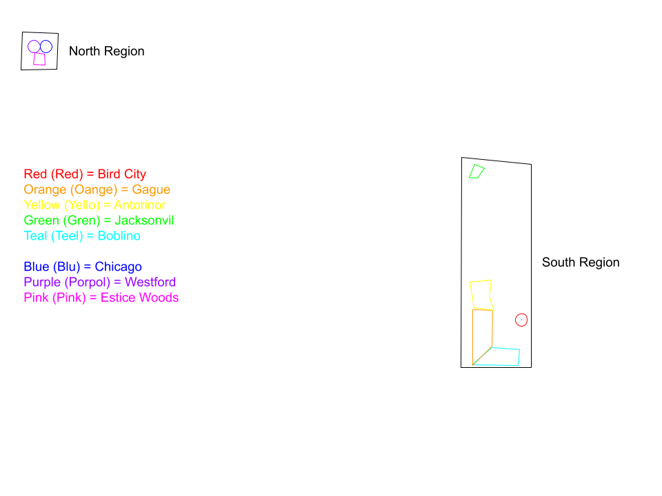 | 960 × 720 (37 KB) | Penn76 (talk | contribs) | Uploaded own work with UploadWizard |
You cannot overwrite this file.
File usage
The following page uses this file: