File:Wuertige Empire Map 2.png
Jump to navigation
Jump to search
No higher resolution available.
Wuertige_Empire_Map_2.png (460 × 323 pixels, file size: 37 KB, MIME type: image/png)
Summary
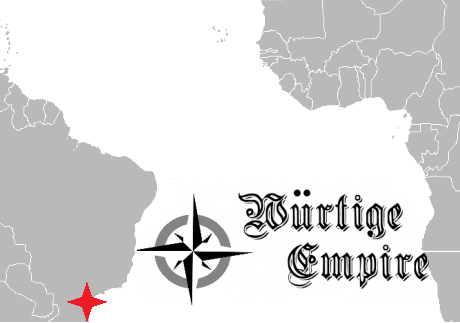
This is the updated Wuertige Empire Map c.February 2014.
Licensing
I, the copyright holder of this work, hereby publish it under the following license:
{{{{{1}}}|dw=no|date=|migration= }}
|
File history
Click on a date/time to view the file as it appeared at that time.
| Date/Time | Thumbnail | Dimensions | User | Comment | |
|---|---|---|---|---|---|
| current | 18:48, 8 August 2016 | | 460 × 323 (37 KB) | Maintenance script (talk | contribs) | Importing file |
| 02:13, 17 February 2016 | No thumbnail | 460 × 323 (37 KB) | Markus II (talk | contribs) | Due to the secession of Mercia and implicit secession of Beacon City. This map may be reverted if Beacon City chooses to stay but there is no indication they will be staying. | |
| 00:35, 12 August 2015 |  | 673 × 575 (59 KB) | Markus II (talk | contribs) | New Israeli secession | |
| 04:28, 11 June 2015 |  | 673 × 574 (72 KB) | Markus II (talk | contribs) | New Israel changes... | |
| 02:01, 11 June 2015 |  | 673 × 574 (59 KB) | Markus II (talk | contribs) | Updated to include the Holy Empire of New Israel. | |
| 12:21, 27 February 2014 |  | 673 × 575 (59 KB) | Regional Dominion of Burnham (talk | contribs) | This is the updated Wuertige Empire Map c.February 2014. |
You cannot overwrite this file.
File usage
There are no pages that use this file.