File:Vlasynia Map in Romania.png
Jump to navigation
Jump to search
Size of this preview: 800 × 571 pixels. Other resolution: 1,280 × 914 pixels.
Original file (1,280 × 914 pixels, file size: 39 KB, MIME type: image/png)
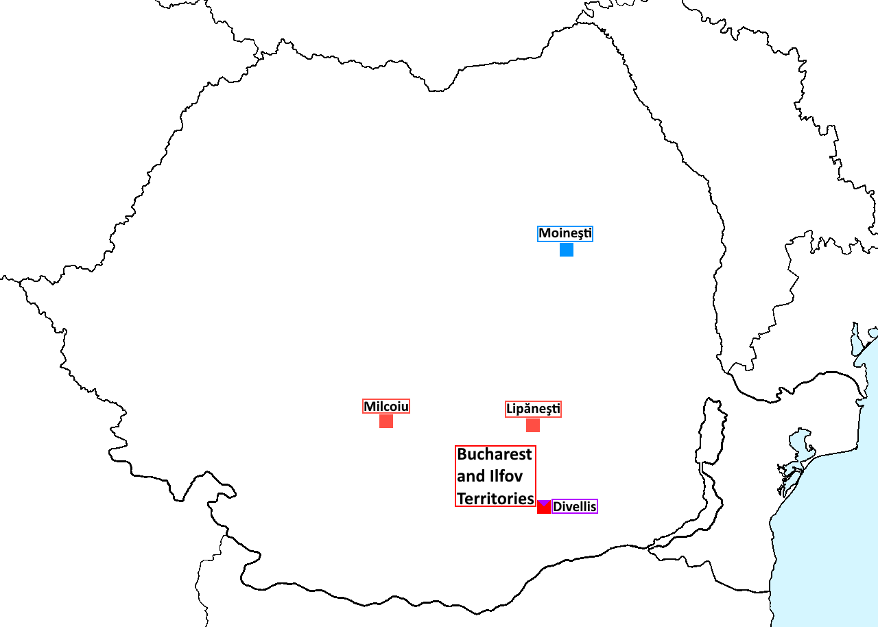
Map of Vlasynia within Romania.
File history
Click on a date/time to view the file as it appeared at that time.
| Date/Time | Thumbnail | Dimensions | User | Comment | |
|---|---|---|---|---|---|
| current | 16:13, 25 September 2019 | | 1,280 × 914 (39 KB) | Ested Vlasyn (talk | contribs) | Reverted to version as of 18:41, 10 September 2019 (UTC) |
| 16:13, 25 September 2019 |  | 1,280 × 914 (41 KB) | Ested Vlasyn (talk | contribs) | ||
| 15:45, 21 September 2019 |  | 1,280 × 914 (43 KB) | Ested Vlasyn (talk | contribs) | ||
| 18:41, 10 September 2019 |  | 1,280 × 914 (39 KB) | Ested Vlasyn (talk | contribs) |
You cannot overwrite this file.
File usage
There are no pages that use this file.