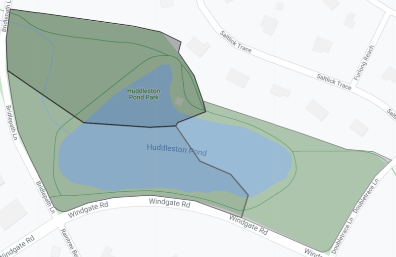
File:Peach Ponds Map.png
Jump to navigation
Jump to search

Size of this preview: 800 × 520 pixels. Other resolution: 1,073 × 698 pixels.
Original file (1,073 × 698 pixels, file size: 254 KB, MIME type: image/png)
Summary
The final map of Peach Ponds, Austenasia unless its territory expands for whatever reason. The Google MyMap it was created on did not save the changes displayed in this image, so the map can not be edited anymore. The darker the highlight, the larger the district.
File history
Click on a date/time to view the file as it appeared at that time.
| Date/Time | Thumbnail | Dimensions | User | Comment | |
|---|---|---|---|---|---|
| current | 20:59, 12 March 2020 |  | 1,073 × 698 (254 KB) | Naveria (talk | contribs) | Last one for a while, unless I need to switch to the satview map for whatever reason. |
You cannot overwrite this file.
File usage
The following page uses this file: