File:PRH Foreign Embassies Map.png
Jump to navigation
Jump to search

Size of this preview: 800 × 351 pixels. Other resolution: 1,425 × 625 pixels.
Original file (1,425 × 625 pixels, file size: 30 KB, MIME type: image/png)
Licencing
I, the copyright holder of this work, hereby publish it under the following license:
{{{{{1}}}|dw=no|date=|migration= }}
|
File history
Click on a date/time to view the file as it appeared at that time.
| Date/Time | Thumbnail | Dimensions | User | Comment | |
|---|---|---|---|---|---|
| current | 18:51, 8 August 2016 | | 1,425 × 625 (30 KB) | Maintenance script (talk | contribs) | Importing file |
| 18:44, 8 August 2016 |  | 1,425 × 625 (30 KB) | Maintenance script (talk | contribs) | Importing file | |
| 18:35, 8 August 2016 |  | 1,425 × 625 (30 KB) | Maintenance script (talk | contribs) | Importing file | |
| 19:24, 6 November 2015 | No thumbnail | 1,425 × 625 (30 KB) | Fabriziodg91 (talk | contribs) | Updated | |
| 14:14, 5 November 2015 |  | 1,425 × 625 (30 KB) | Fabriziodg91 (talk | contribs) | Updated | |
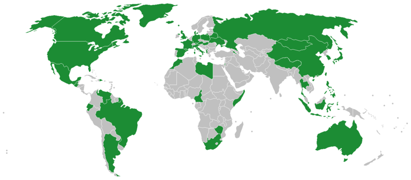
| 09:54, 4 November 2015 |  | 1,425 × 625 (30 KB) | Fabriziodg91 (talk | contribs) | Map updated included further territories that Hashima recognizes as Independent and Sovereign | |
| 11:16, 29 October 2015 |  | 1,425 × 625 (30 KB) | Fabriziodg91 (talk | contribs) | Updated | |
| 15:05, 12 October 2015 |  | 4,500 × 2,234 (108 KB) | Fabriziodg91 (talk | contribs) |
You cannot overwrite this file.
File usage
The following 3 pages use this file: