File:NCFD Map.png
Jump to navigation
Jump to search
Size of this preview: 420 × 599 pixels. Other resolution: 825 × 1,176 pixels.
Original file (825 × 1,176 pixels, file size: 73 KB, MIME type: image/png)
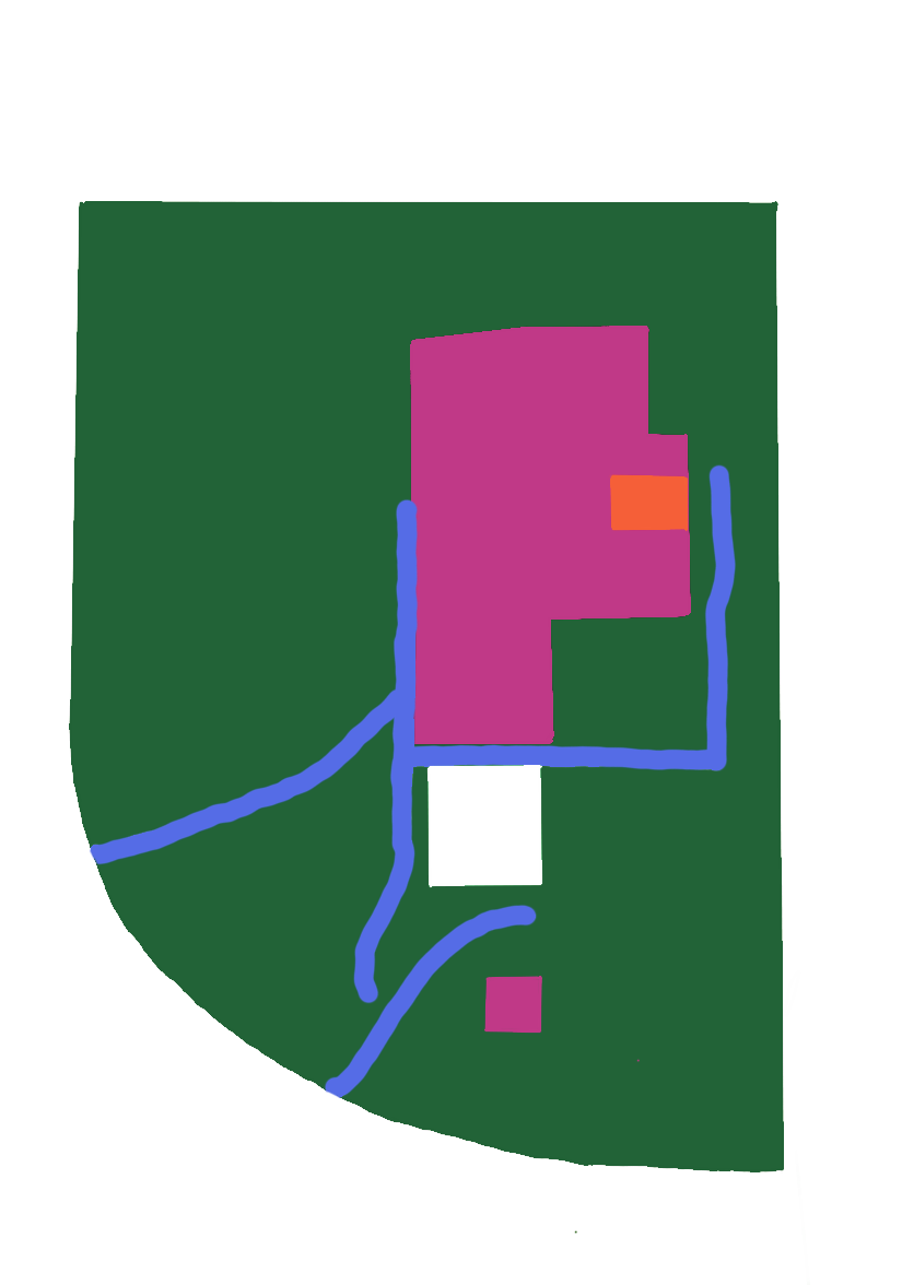
This map of the New Concordia Federal District shows roads and structures.
File history
Click on a date/time to view the file as it appeared at that time.
| Date/Time | Thumbnail | Dimensions | User | Comment | |
|---|---|---|---|---|---|
| current | 05:17, 5 April 2022 | | 825 × 1,176 (73 KB) | FIefery (talk | contribs) |
You cannot overwrite this file.
File usage
The following page uses this file: