File:MaterniaMap.png
Jump to navigation
Jump to search

Size of this preview: 318 × 599 pixels. Other resolution: 340 × 640 pixels.
Original file (340 × 640 pixels, file size: 25 KB, MIME type: image/png)
File history
Click on a date/time to view the file as it appeared at that time.
| Date/Time | Thumbnail | Dimensions | User | Comment | |
|---|---|---|---|---|---|
| current | 20:31, 14 October 2016 |  | 340 × 640 (25 KB) | EmperorAdamI (talk | contribs) | |
| 13:55, 5 January 2015 |  | 340 × 640 (28 KB) | EmperorAdamI (talk | contribs) | Ministry of Information replaced with Ministry of Infrastructure. | |
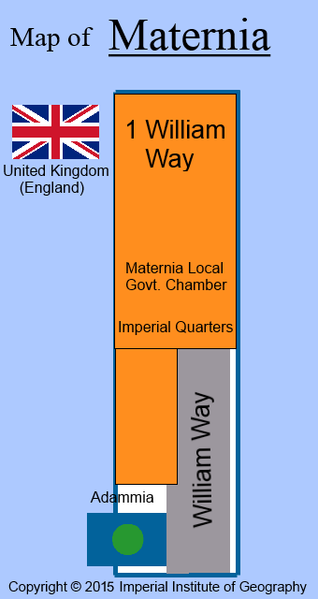
| 21:42, 14 January 2014 |  | 340 × 640 (27 KB) | EmperorAdamI (talk | contribs) | Map of Maternia Province, Empire of Adammia produced by the Imperial Institute of History. It should be noted that William Way is the backyard, not the front drive as one might assume. | |
| 18:47, 9 November 2013 |  | 1,080 × 720 (1.34 MB) | Maintenance script (talk | contribs) | Importing image file |
You cannot overwrite this file.
File usage
The following page uses this file: