File:Map of the Norfolk Empire June 2019.png
Jump to navigation
Jump to search
Size of this preview: 800 × 600 pixels. Other resolution: 1,600 × 1,200 pixels.
Original file (1,600 × 1,200 pixels, file size: 270 KB, MIME type: image/png)
Summary
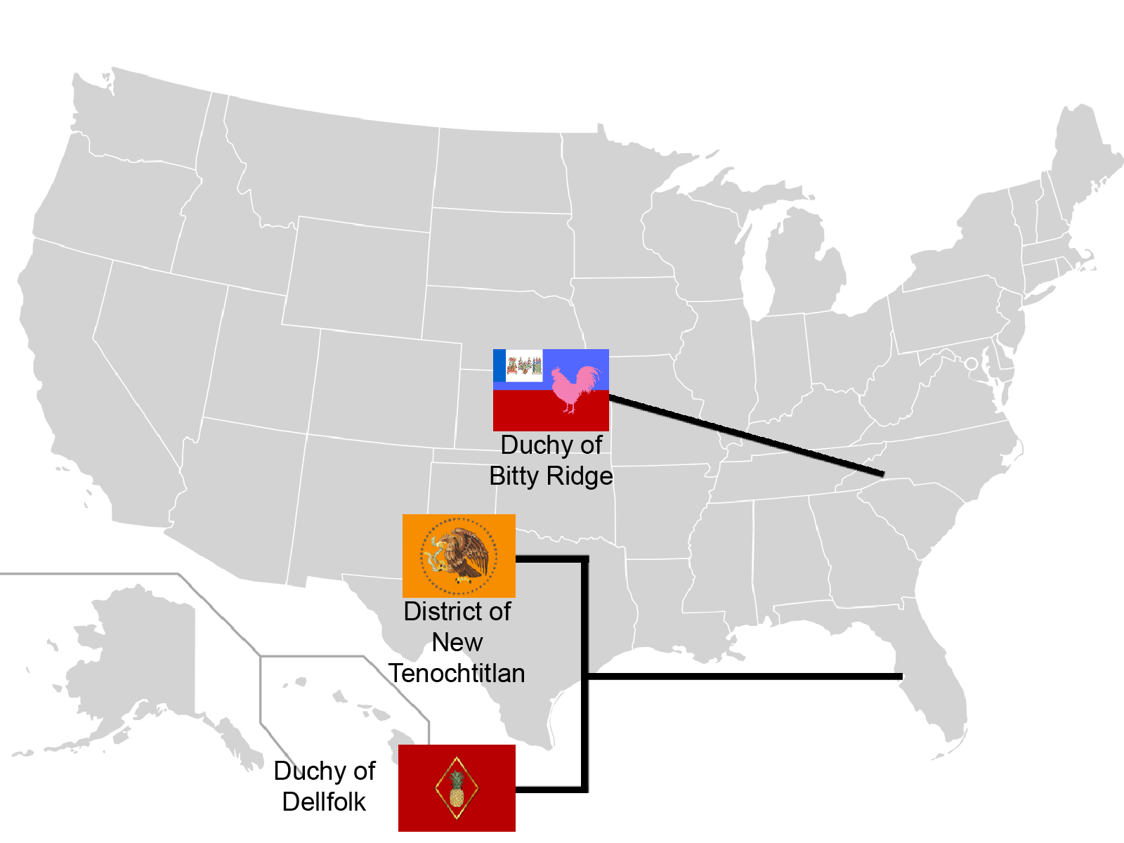
This is a map of the territories of the Norfolk Empire in June 2019.
Licensing
| This work is used in accordance with the following copyright license: Proprietary, but Fair Use. Author: Unknown. Origin: Unknown. |
File history
Click on a date/time to view the file as it appeared at that time.
| Date/Time | Thumbnail | Dimensions | User | Comment | |
|---|---|---|---|---|---|
| current | 20:40, 22 June 2019 | | 1,600 × 1,200 (270 KB) | Jasooper (talk | contribs) | This is a map of the territories of the Norfolk Empire in June 2019. |
You cannot overwrite this file.
File usage
The following 3 pages use this file: