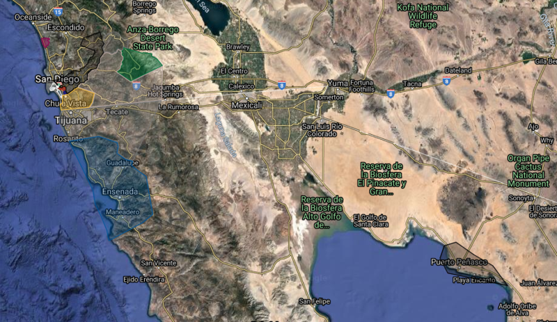
File:Map of the Empire of Laguna.png
Jump to navigation
Jump to search

Size of this preview: 800 × 463 pixels. Other resolution: 916 × 530 pixels.
Original file (916 × 530 pixels, file size: 1,001 KB, MIME type: image/png)
This is the map of its land claims and territories in the nation.
Some areas may be excluded from its actual map in the Lagunian Federal Website.
File history
Click on a date/time to view the file as it appeared at that time.
| Date/Time | Thumbnail | Dimensions | User | Comment | |
|---|---|---|---|---|---|
| current | 20:03, 28 December 2021 |  | 916 × 530 (1,001 KB) | King Ezri (talk | contribs) |
You cannot overwrite this file.
File usage
The following page uses this file: