File:Map of current provinces and territories in the G.M.R..png
Jump to navigation
Jump to search
Size of this preview: 800 × 463 pixels.
Original file (1,036 × 600 pixels, file size: 927 KB, MIME type: image/png)
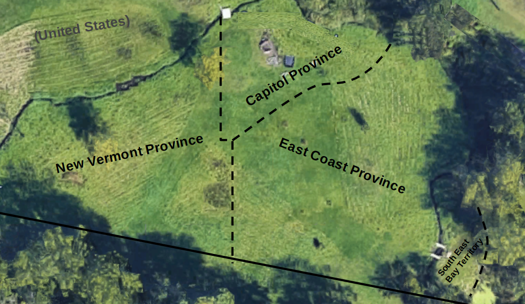
Map of current provinces and territories in the G.M.R.
File history
Click on a date/time to view the file as it appeared at that time.
| Date/Time | Thumbnail | Dimensions | User | Comment | |
|---|---|---|---|---|---|
| current | 19:25, 1 December 2019 | | 1,036 × 600 (927 KB) | Re-United Provinces of the Green Hills (talk | contribs) |
You cannot overwrite this file.
File usage
The following page uses this file: