File:Map of Colourcountries 1900.png
Jump to navigation
Jump to search

Size of this preview: 800 × 486 pixels. Other resolution: 1,092 × 663 pixels.
Original file (1,092 × 663 pixels, file size: 32 KB, MIME type: image/png)
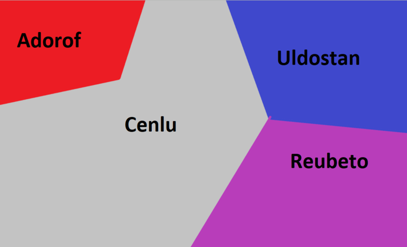
A map of colour countries in 1900 consisting of 4 nations
File history
Click on a date/time to view the file as it appeared at that time.
| Date/Time | Thumbnail | Dimensions | User | Comment | |
|---|---|---|---|---|---|
| current | 21:24, 24 March 2020 | | 1,092 × 663 (32 KB) | Connaughtgov (talk | contribs) |
You cannot overwrite this file.
File usage
There are no pages that use this file.