File:Map location of the VISSR.png
Jump to navigation
Jump to search

Size of this preview: 800 × 587 pixels. Other resolutions: 2,560 × 1,877 pixels | 3,000 × 2,200 pixels.
Original file (3,000 × 2,200 pixels, file size: 1.06 MB, MIME type: image/png)
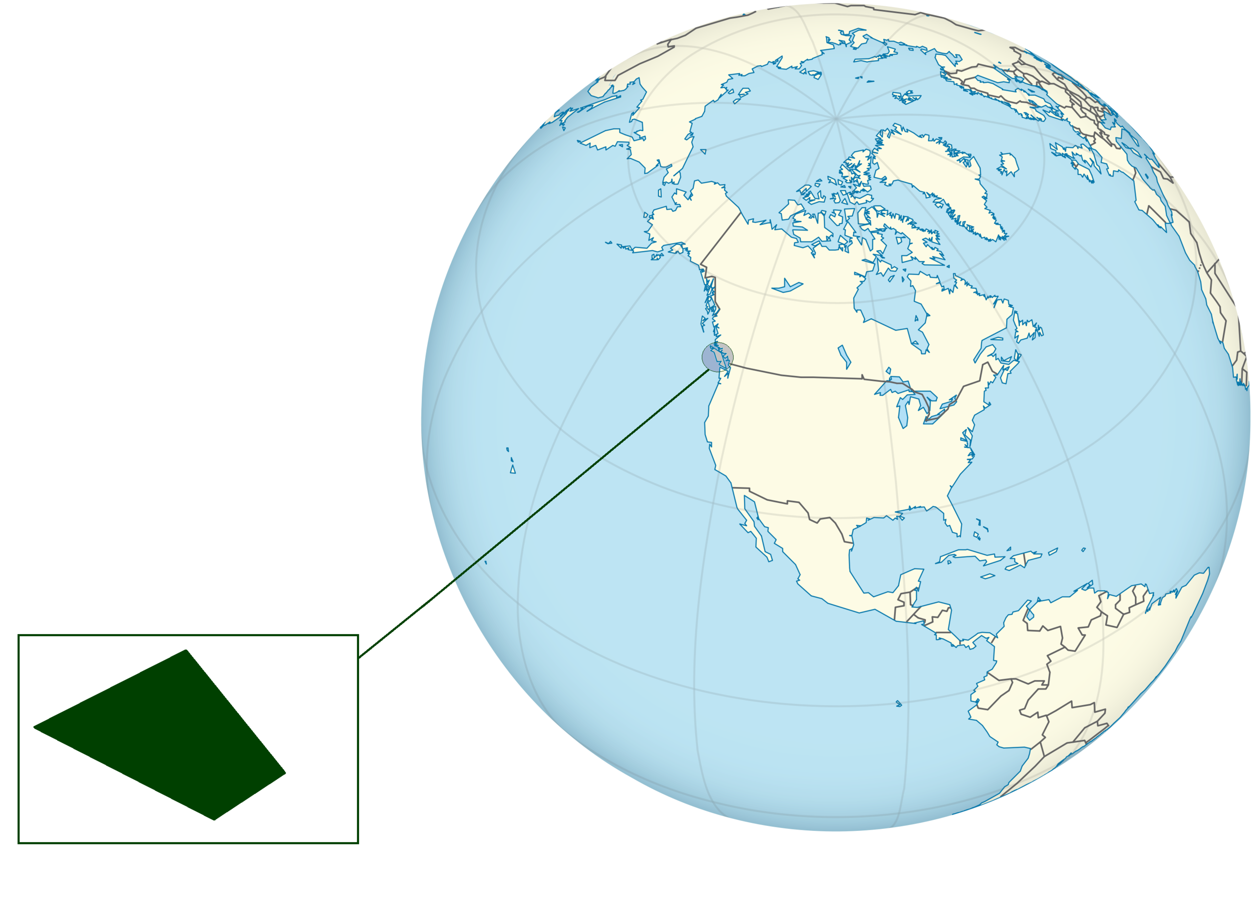
Location of the Vancouver Island Soviet Socialist Republic
File history
Click on a date/time to view the file as it appeared at that time.
| Date/Time | Thumbnail | Dimensions | User | Comment | |
|---|---|---|---|---|---|
| current | 22:16, 18 October 2020 | | 3,000 × 2,200 (1.06 MB) | VanIsleDominion (talk | contribs) |
You cannot overwrite this file.
File usage
The following page uses this file: