File:Location map of the IRoSB.png
Jump to navigation
Jump to search

Size of this preview: 800 × 450 pixels. Other resolution: 1,280 × 720 pixels.
Original file (1,280 × 720 pixels, file size: 67 KB, MIME type: image/png)
Summary
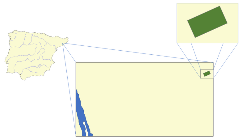
| Description |
English: Map with the location of the Independent Republic of South Bages in the Iberian Peninsula. |
|---|---|
| Source |
https://commons.wikimedia.org/wiki/File:Iberian_Peninsula_base_map.svg |
| Date |
2022-06-16 |
| Author |
Redthony |
| Permission (Reusing this file) |
See below.
|
Licensing
| This work is licensed under the Creative Commons Attribution-ShareAlike 4.0 License. |
File history
Click on a date/time to view the file as it appeared at that time.
| Date/Time | Thumbnail | Dimensions | User | Comment | |
|---|---|---|---|---|---|
| current | 22:28, 16 June 2022 | | 1,280 × 720 (67 KB) | Superbatman (talk | contribs) | Uploaded a work by Redthony from https://commons.wikimedia.org/wiki/File:Iberian_Peninsula_base_map.svg with UploadWizard |
You cannot overwrite this file.
File usage
The following page uses this file: