File:Lakeston 1.jpg
Jump to navigation
Jump to search

Size of this preview: 800 × 600 pixels. Other resolution: 2,592 × 1,944 pixels.
Original file (2,592 × 1,944 pixels, file size: 1.16 MB, MIME type: image/jpeg)
Summary
| Description |
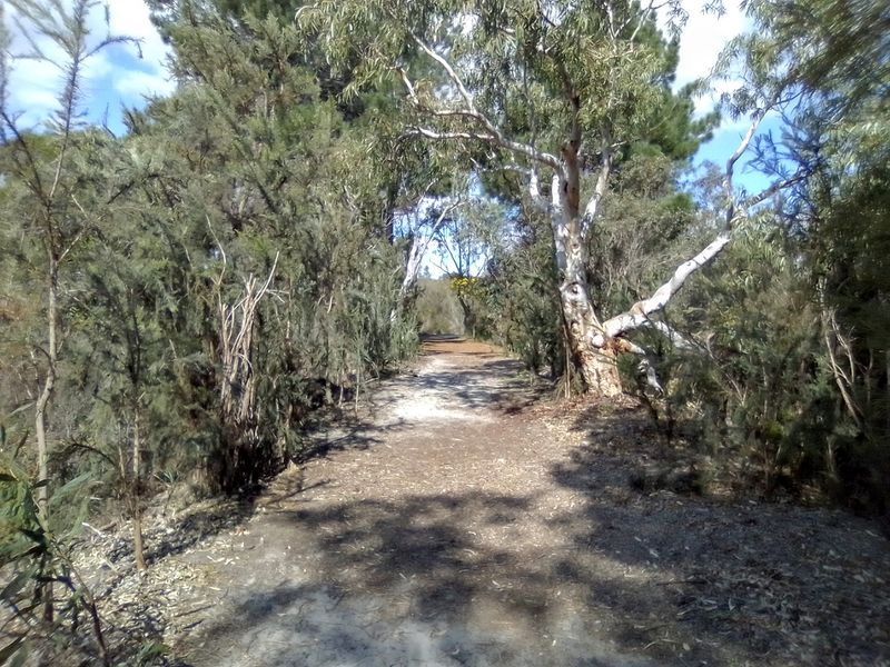
English: Image of Lakeston Perimeter Road |
|---|---|
| Source |
Own work |
| Date |
2020-08-29 13:54:24 |
| Author | |
| Permission (Reusing this file) |
See below.
|
31°41′35″S 115°48′58″E / 31.69314°S 115.816129°E
Licensing
I, the copyright holder of this work, hereby publish it under the following license:
|
File history
Click on a date/time to view the file as it appeared at that time.
| Date/Time | Thumbnail | Dimensions | User | Comment | |
|---|---|---|---|---|---|
| current | 15:00, 15 November 2020 | | 2,592 × 1,944 (1.16 MB) | Australis (talk | contribs) | User created page with UploadWizard |
You cannot overwrite this file.
File usage
The following page uses this file: