File:Gerryscute GEB Map (24 October 2022).png
Jump to navigation
Jump to search
Size of this preview: 577 × 599 pixels. Other resolution: 805 × 836 pixels.
Original file (805 × 836 pixels, file size: 695 KB, MIME type: image/png)
Summary
| Description |
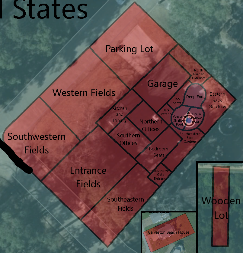
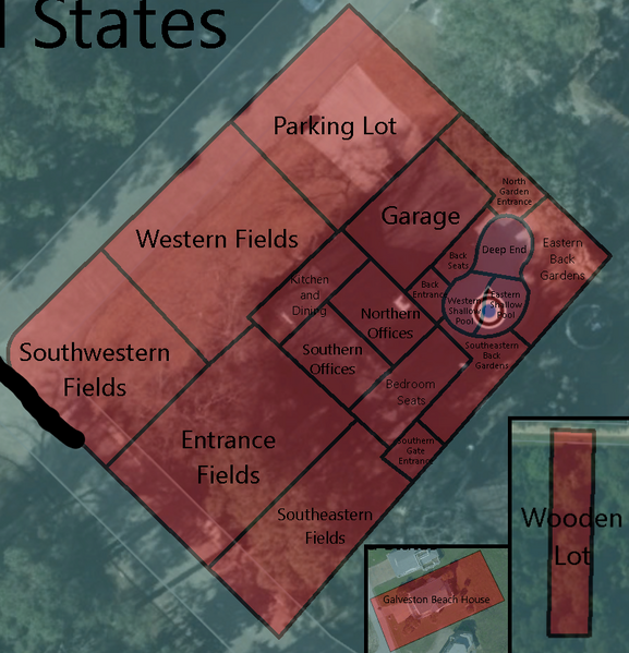
English: The map of Gerria and it's 21 oblasts. |
|---|---|
| Source |
Own work |
| Date |
2022-11-17 |
| Author | |
| Permission (Reusing this file) |
See below.
|
Licensing
I, the copyright holder of this work, hereby publish it under the following license:
|
File history
Click on a date/time to view the file as it appeared at that time.
| Date/Time | Thumbnail | Dimensions | User | Comment | |
|---|---|---|---|---|---|
| current | 01:42, 29 November 2022 | | 805 × 836 (695 KB) | JunoTehPlanet (talk | contribs) | New map design, new oblast borders, censored street names to avoid doxxing. |
| 18:41, 17 November 2022 |  | 795 × 812 (1.11 MB) | JunoTehPlanet (talk | contribs) | Uploaded own work with UploadWizard |
You cannot overwrite this file.
File usage
There are no pages that use this file.
.png&oldid=1353347)