File:Aikavmap.png
Jump to navigation
Jump to search
Size of this preview: 800 × 379 pixels. Other resolution: 1,770 × 838 pixels.
Original file (1,770 × 838 pixels, file size: 203 KB, MIME type: image/png)
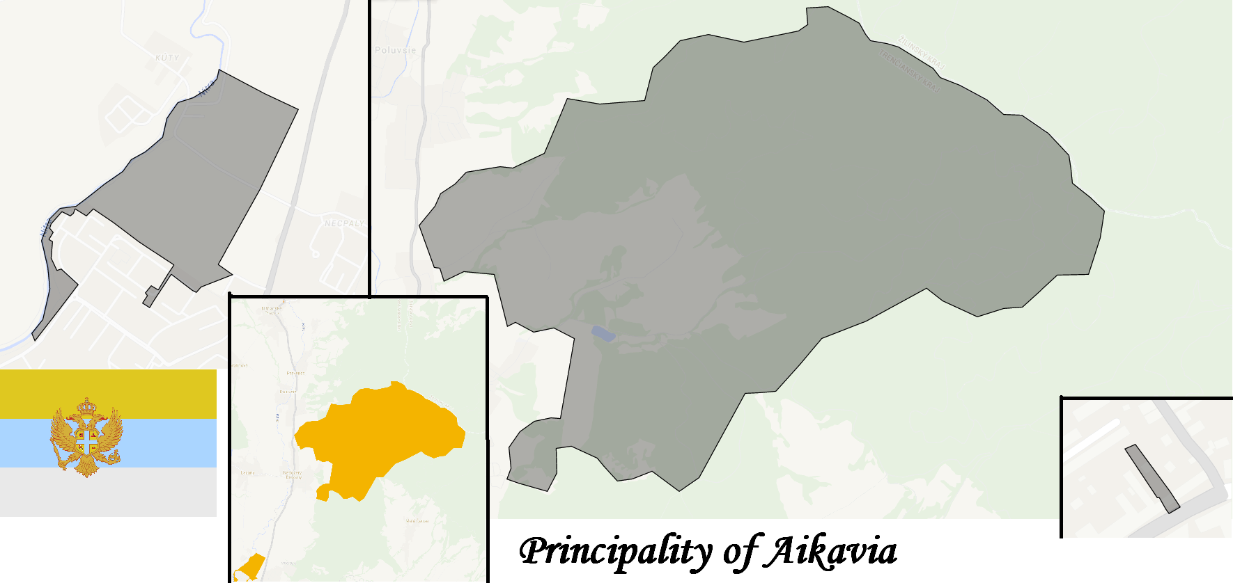
A map of Aikavia depicting the three exclaves: Southern ikavia, Podgoria and Dvor
File history
Click on a date/time to view the file as it appeared at that time.
| Date/Time | Thumbnail | Dimensions | User | Comment | |
|---|---|---|---|---|---|
| current | 18:49, 8 August 2016 | | 1,770 × 838 (203 KB) | Maintenance script (talk | contribs) | Importing file |
| 13:30, 7 December 2014 | No thumbnail | 1,770 × 838 (203 KB) | PravoslavK (talk | contribs) | A map of Aikavia depicting the three exclaves: Southern ikavia, Podgoria and Dvor |
You cannot overwrite this file.
File usage
The following page uses this file: