File:Map of Southern Columbia.png
Jump to navigation
Jump to search
Size of this preview: 600 × 600 pixels. Other resolution: 2,048 × 2,048 pixels.
Original file (2,048 × 2,048 pixels, file size: 713 KB, MIME type: image/png)
Summary
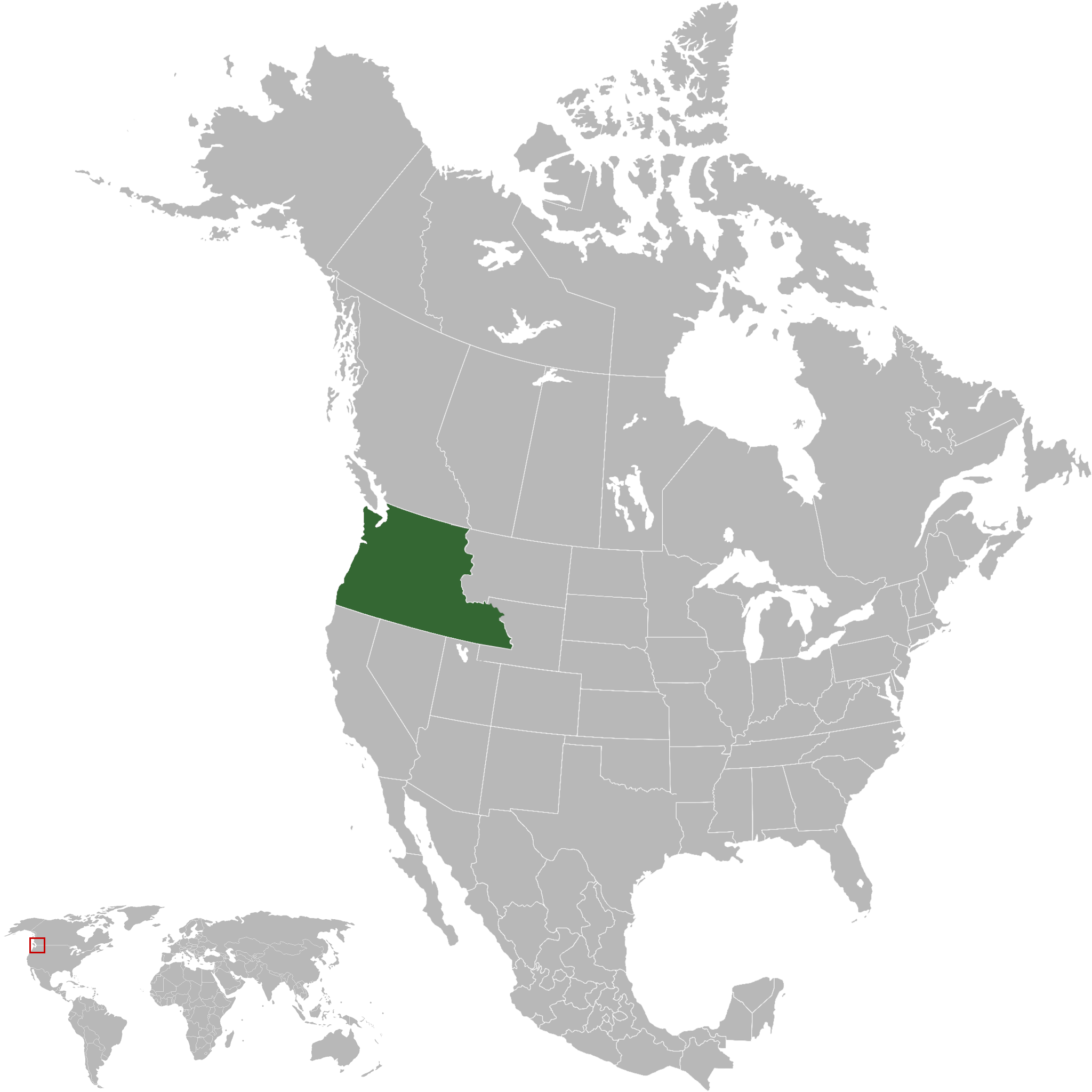
| Description |
English: Territory claimed, but not controlled, by Southern Columbia |
|---|---|
| Source |
Own work |
| Date |
2023-12-03 |
| Author | |
| Permission (Reusing this file) |
See below.
|
Licensing
I, the copyright holder of this work, hereby publish it under the following license:
|
File history
Click on a date/time to view the file as it appeared at that time.
| Date/Time | Thumbnail | Dimensions | User | Comment | |
|---|---|---|---|---|---|
| current | 00:59, 4 December 2023 | | 2,048 × 2,048 (713 KB) | Orbovia (talk | contribs) |
You cannot overwrite this file.
File usage
The following page uses this file: